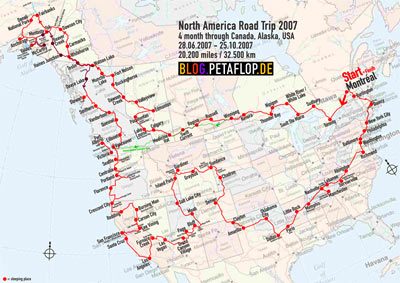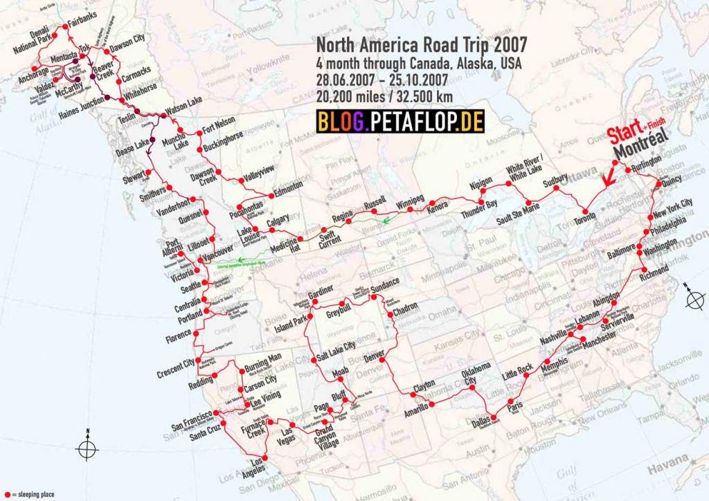
This is the very final post of our four month car jaunt with some statistics. Here is the directory of 120 travel days, an overview of all blog posts. Or just start with Day 1.
- Duration: 120 days (June 28 – Oct 26 2007)
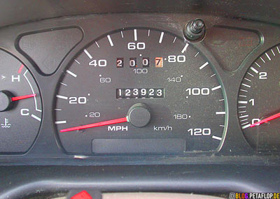
- miles driven: 20,195 (planned: 16,800)
- average distance driven per day: 170 miles
- longest distance in one day: Santa Cruz to L.A. 370 miles
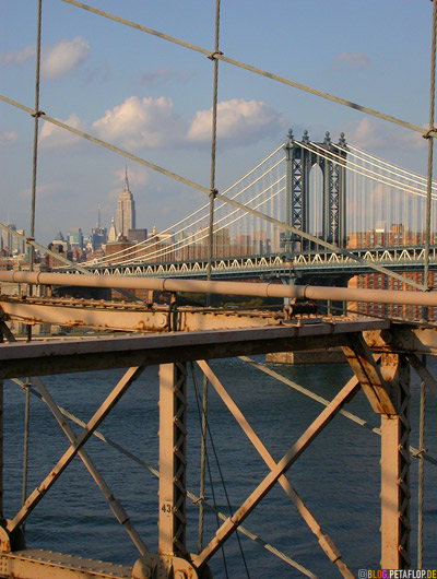
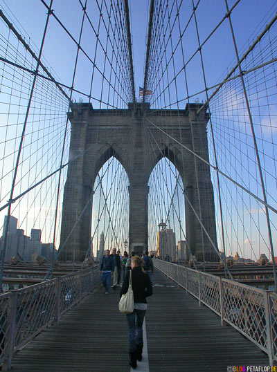
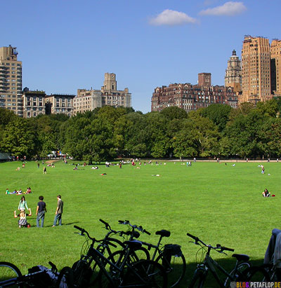
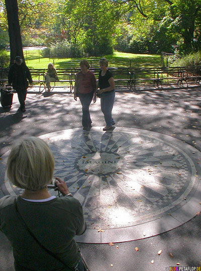
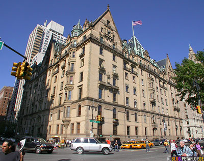
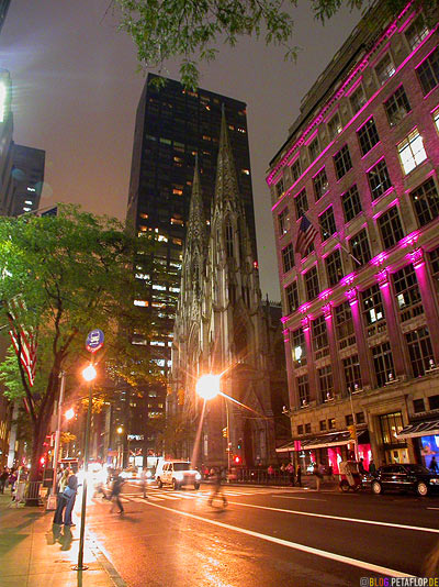
- longest stay in one place: New York City, 5 days
- Canadian provinces/territories we came through: 7 (of 13)
- U.S. states we came through: 30 (of 50) + Washington D.C.
- northernmost point: Arctic Circle at Dalton Highway, Alaska
- westernmost: Anchorage, Alaska
- southernmost: Dallas, Texas
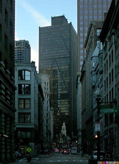
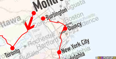
- easternmost: Boston, Massachussetts
- highest: Big Horn Mountains, Wyoming: over 9000 ft
- lowest: Badwater, Death Valley, California: -282 ft
- hottest: Death Valley, Californa: 117°F (Sept 12th)
- coldest: Columbia Glacier, Prince William Sound, Alaska: wet and windy 25°F (Aug 5th)
- the most relaxed people live in: Alaska
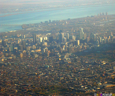
- places we’d like to visit again: Oregon and Washington Coast, British Columbia and Yukon (and Alaska, in winter), Arizona, New York, Vancouver, Montréal
- cities we don’t need to visit again: Los Angeles, Las Vegas, Winnipeg
- lovely campgrounds: 1. Coal Mine Campground Carmacks, 2. KOA Campground Thunder Bay, 3. Anicinabe Park Campground Kenora
- most horrible camping nights: 1. Pocahontas, 2. White River
- best hotel: Marlborough Winnipeg
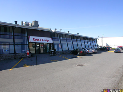
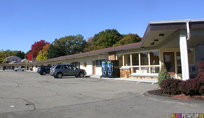
- worst motels: 1. Allen Motel Clayton, 2. Motel in Washington D.C., 3. Red Carpet Inn Richmond
- best food: Klondike Kate’s in Dawson City, Korean at Ben and Angel Seattle, some Indian restaurant in New York City
- worst food: Carlo’s Restaurant Blind River
- number of different motel bedspread designs in whole North America: 2
- lost things: sunglasses, hard drive, battery charger
- photos shot: 11,591 (97 per day, one every 1.7 miles)
- Blog posts: 134 (with this one)
- total travel costs: 9,102 € (thanks to the cheap Dollar)
- Zeit: 120 Tage (28.6.-26.10.2007)
- gefahrene km: 32.501 (geplant: 27.000)
- durchschnittliche Tagesstrecke: 273 km
- Längste Strecke an einem Tag: Santa Cruz nach L.A. 600 km
- längster Aufenthalt an einem Ort: New York City, 5 Tage
- durchfahrene kanadische Provinzen: 7 (von 13)
- durchfahrene U.S.-Staaten: 30 (von 50) + Wahington D.C.
- nördlichster Punkt: Nordpolarkreis am Dalton Highway, Alaska
- westlichster: Anchorage, Alaska
- südlichster: Dallas, Texas
- östlichster: Boston, Massachussetts
- höchster: Big Horn Mountains, Wyoming: knapp 3.000 m
- tiefster: Badwater, Death Valley, Kalifornien: -86 m
- heißester: Death Valley, Kalifornien: 47°C (12. Sept.)
- kältester: Columbia-Gletscher, Prince-William-Sund, Alaska: nasse, windige -4°C (5. Aug.)
- die entspanntesten Menschen leben in: Alaska
- Orte, die wir gerne nochmal besuchen würden: Die Küste von Oregon und Washington, British Columbia und Yukon (und Alaska, im Winter), Arizona, New York City, Vancouver, Montréal
- Städte, die wir nicht nochmal sehen müssen: Los Angeles, Las Vegas, Winnipeg
- schönste Campingplätze: 1. Coal Mine Campground Carmacks, 2. KOA Campground Thunder Bay, 3. Anicinabe Park Campground Kenora
- schlimmste Campingnächte: 1. Pocahontas, 2. White River
- bestes Hotel: Marlborough Winnipeg
- schlechteste Motels: 1. Allen Motel Clayton, 2. Motel in Washington D.C., 3. Red Carpet Inn? Richmond
- bestes Essen: Klondike Kate’s in Dawson City, Koreanisch bei Ben und Angel Seattle, ein indisches Restaurant in New York City
- schlechtestes Essen: Carlo’s Restaurant Blind River
- Anzahl unterschiedlicher Motelbett-Tagesdecken-Designs in ganz Nordamerika: 2
- während der Reise verloren: Sonnenbrille, Festplatte, Akkulader
- geschossene Fotos: 11.591 (97 pro Tag, eins alle 2,8 km)
- Blog-Einträge: 134 (mit diesem hier)
- Gesamtreisekosten: 9.102 € (dem billigen Dollar sei Dank)
20,000 Miles Canada/USA: Travel Overview

