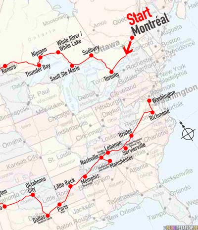
Saturday, 20. October 2007, New York, USA
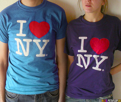
Of all cities we’ve seen on our travel New York is the only one we would really like to live in. We both have been here several times before and it’s always different. There’s so much to see and the people are the most open minded in the world, they’ve seen it all. New York really is the city of cities, the hub of the world. After seeing that much of the U.S.A. we can surely say: New York is not America.
Von allen Städten unserer Reise ist New York die einzige, in der wir gerne leben würden. Wir waren beide vorher schon mehrmals hier und es ist jedesmal anders. Es gibt unglaublich viel zu sehen und die Leute sind die tolerantesten der Welt; sie haben schon alles gesehen. New York ist wirklich die Stadt der Städte, der Nabel der Welt. Nachdem wir so viel von den U.S.A. gesehen haben steht vor allem eins fest: New York ist nicht Amerika.
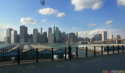
View from Brooklyn at Lower Manhattan, the south end of the peninsula which was colonised first in the 17th century. Before that Dutch maritime explorer Peter Minuit from Wesel (today Germany) acquired “Manahata” (means island of many hills) from native people in exchange for trade goods worth 60 guilders. The Dutch named the city New Amsterdam until it was conquered by the English in 1664 who renamed it to New York.
Blick von Brooklyn auf Lower Manhattan, das Südende der Halbinsel, welches im 17. Jahrhundert zuerst besiedelt wurde. Zuvor hatte der Seefahrer Peter Minuit aus dem damals noch niederländischen Wesel 1626 mit hier lebenden Indianern “Manahata” (was soviel wie hügeliges Land bedeutet) gegen Handelsgüter im Wert von 60 Gulden getauscht. Die Holländer nannten die Stadt Neu-Amsterdam bis sie 1664 von den Engländern erobert und in New York umgetauft wurde.
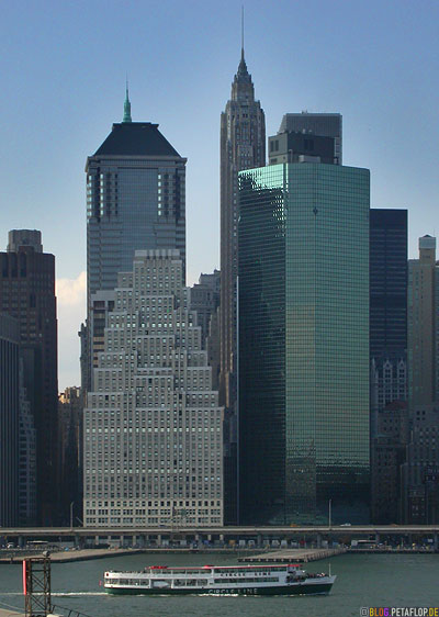
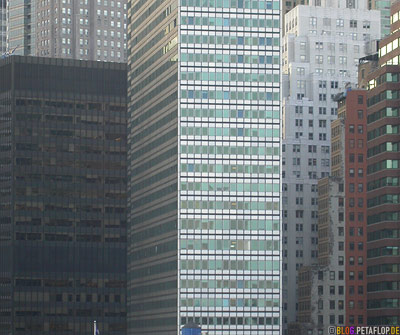
On the waterfront: 120 Wall Street (left) und Continental Center (right). The skyscraper canyon on the left is the Wall Street. At that level Dutch governor Petrus Stuyvesant had a rampart built in 1652, through whole Manhattan from the east to the west. The inhabited south ougth to be protected from indian attacks from the north. “Wal” is dutch for rampart, that’s where the name Wall Street comes from.
Nah am Wasser gebaut: 120 Wall Street (links) und Continental Center (rechts). Die linke Hochhausschlucht ist die Wall Street. Auf dieser Höhe liess der niederländische Gouverneur Petrus Stuyvesant 1652 über die gesamte Breite Manhattans von Ost nach West einen Wall (niederländisch „Wal“) zum Schutz des bewohnten Südens gegen indianische Überfälle von Norden errichten. Daher stammt der Name.
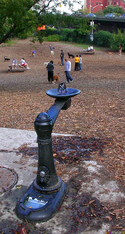
Public dog run in Brooklyn with water fountain for the doggie at the bottom and for his human at the top
Öffentlicher Hundeauslauf in Brooklyn mit Wasserspender zum Saufen für Köter (unten) und Halter (oben)
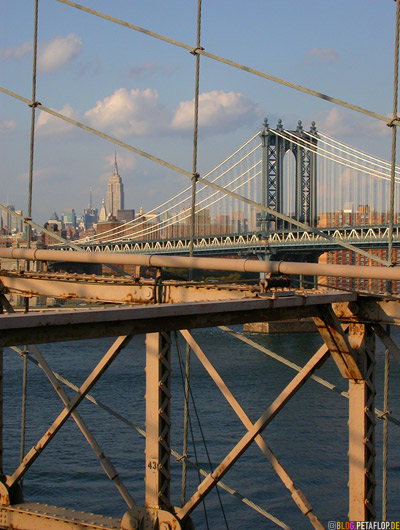
Manhattan Bridge (1909) and Empire State Building (1931) seen from…
Manhattan Bridge (1909) und Empire State Building (1931) fotografiert von…
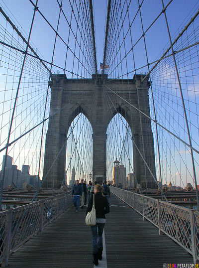
… Brooklyn Bridge which is from 1883
… der Brooklyn Bridge aus dem Jahre 1883
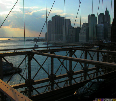
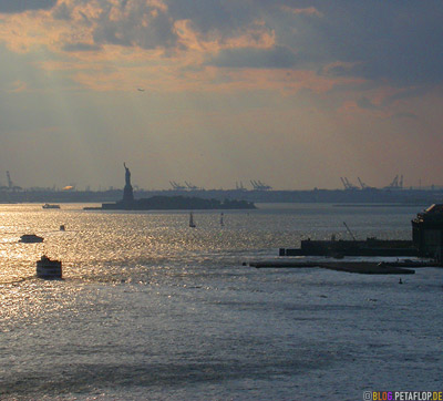
Upper New York Bay with Ellis Island and Statue of Liberty, view from Brooklyn Bridge
Upper New York Bay mit der Freiheitsstatue auf Ellis Island, Blick von der Brooklyn Bridge
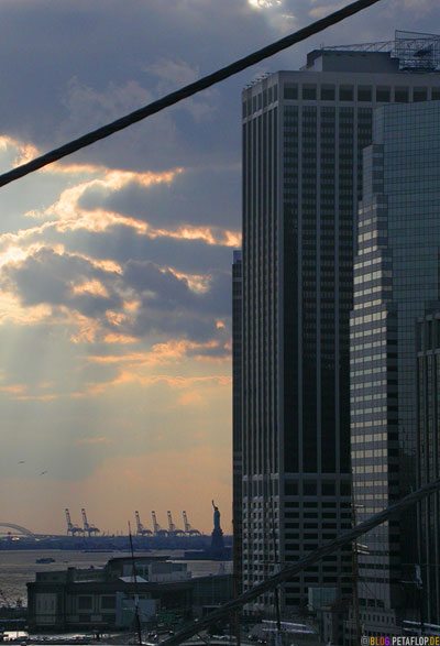
From left: Statue of Liberty, 55 Water Street, 1 Financial Square
Von links: Freiheitsstatue, 55 Water Street, 1 Financial Square
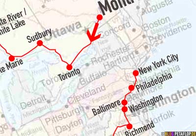
20,000 Miles Canada/USA: Travel Overview
